
GIS Mapping Services
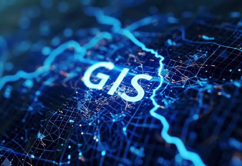
We provide comprehensive GIS mapping services that enable organizations, businesses, and individuals to make spatial decisions and effectively visualize geographic data from interactive mapping. Using powerful tools such as ArcGIS, QGIS, and Google Earth Pro, we develop interactive maps that allow users to explore, analyze, and interpret spatial information with ease. Our solutions support real time data visualization, helping users monitor and understand environmental and urban changes as they occur over time.
We deliver GIS mapping services across multiple domains, including society map planning for housing and infrastructure development, river mapping for hydrological studies and flood management, urban mapping for city planning and landuse analysis, agricultural mapping for crop monitoring, and environmental mapping for conservation efforts. Each map is designed to be user friendly, customizable, and data driven, ensuring accuracy and reliability in decision making.
Why Choose Us

Focus on Requirements
We Focus on client's requirements to deliver solutions precisely aligned with project goals

Reliable Solution
Our company provide reliable solutions that ensure consistency, quality, and long term performance

Experienced Team
We have an experienced team delivering expertise, innovation, and proven results across projects

Affordable Pricing
We offer affordable pricing that ensures high quality solutions without exceeding budget limits

Fast Delivery
We provide fast delivery, ensuring projects are completed on time without compromising quality

24/7 Customer Support
We offer 24/7 customer support, ensuring assistance is always available whenever needed
WE WORK HARD WE PLAY HARD
Our GIS Mapping Services
LULC Mapping
With the Land Use/Land Cover (LULC) technique, we utilize GIS to make maps that show how land is used. This helps governments, groups, and planners make good decisions about how to use land.
Parcel Mapping
These maps show who owns what land and how it is split up. We use GIS tools to produce precise maps and records that show the size, location, and description of land.
Data Conversion
We transform data from several types, such as CAD files, raster images, and GPS data, into formats that GIS systems can use and make it for further processing.
Field Survey
We provide field survey services to collect and organize geographic data for further analysis and produce the interactive map for better decision making
Geo Database
We integrate spatial databases with application and ensure that all location based data is storing and managing in the database.
Cartography Techniques
We specialize in geographic data to make it interactive in perspective of standard color scheme, symbology as well as according to the map layouts
Why Choose Us

Focus on Requirements
We Focus on client's requirements to deliver solutions precisely aligned with project goals
Reliable Solution
Our web development company provide reliable solutions that ensure consistency, quality, and long term performance
Experienced Team
We have an experienced team delivering expertise, innovation, and proven results across projects
Affordable Pricing
We offer affordable pricing that ensures high quality solutions without exceeding budget limits
Fast Delivery
We provide fast delivery, ensuring projects are completed on time without compromising quality
24/7 Customer Support
We offer 24/7 customer support, ensuring assistance is always available whenever needed
WE WORK HARD WE PLAY HARD
Our Services
Frequently Asked Questions
We use satellite imagery, remote sensing data, and GIS tools to classify land areas into different categories based on their land use or cover. This data is then analyzed to provide insights into land changes and trends.
We gather data through field surveys, satellite imagery, and GIS systems. Then, we use specialized design software to create maps, adding layers, markers, and analysis to represent geographic information clearly.
You can send us a request through our website or contact us directly.
We utilize ArcGIS, QGIS, and Google Earth Pro and AI technologies to deliver intelligent, precise, and real-time mapping solutions.
We offer GIS mapping services worldwide.
Frequently Asked Questions
We use satellite imagery, remote sensing data, and GIS tools to classify land areas into different categories based on their land use or cover. This data is then analyzed to provide insights into land changes and trends.
We use specialized equipment such as GPS devices, total stations, and drones to gather precise measurements. .
We gather data through field surveys, satellite imagery, and GIS systems. Then, we use specialized design software to create maps, adding layers, markers, and analysis to represent geographic information clearly.